Research
GIS Toolbox
An online toolbox for geospatial data processing, supporting coordinate system conversion, format conversion, a map workbench, spatial analysis, and raster processing, emphasizing local in-browser operation.
GIScoordinate conversionformat conversion
About this tool
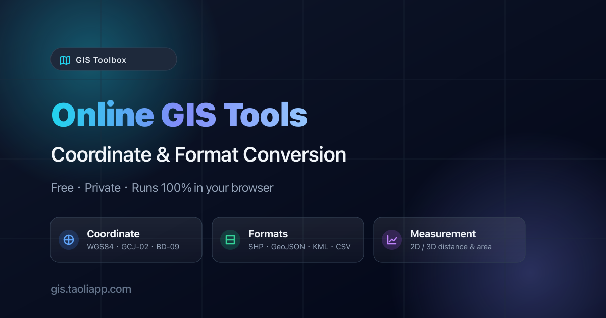
GIS Toolbox is an online platform for geospatial information modeling and spatial data processing. Features listed on the webpage include: coordinate system conversion (WGS84, Web Mercator, UTM, and 100+ EPSG), a map workbench (load files or PMTiles as layers, styling, map operations, export PNG or project files), format conversion (Shapefile, GeoJSON, KML, CSV, etc.) and batch conversion. It also offers spatial analysis (buffer, intersect, union, difference, dissolve), file inspection, generators (grid, Voronoi, TIN, random points), GeoTIFF tools (inspect, clip, reproject, band extraction), a workflow builder, measurement tools, 3D measurement, data merge/split, compression, OSM data download, spatial SQL queries, rasterization, NDVI calculation, hillshade, contour generation, raster vectorization, 3D viewing, and hyperspectral browsing. The website states that processing is done locally in the browser with no uploads. The above feature descriptions come only from the provided webpage evidence; their actual availability, accuracy, or privacy claims have not been verified.